Take a walk through the history of Amble


The two routes, as well as four new information boards, were unveiled at a ceremony last Wednesday.
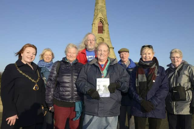
A book, entitled Reflections, profiles The Friendliest Port’s past and has been printed to complement the trail.
The trail comprises two routes.
Advertisement
Hide AdAdvertisement
Hide AdThe red walk takes around an hour and includes areas such as Queen Street and The Braid. Nods to the past on this route include the remains of a 15th century manor house and the site of an old sawmill and mineral factory.
The green trail, taking around one hour and 15 minutes, takes in areas such as Paddlers Park and the South Jetty. Along this route, explorers can walk where railway tracks once were and see the red brick houses of the old station.
Along the walks are history trail waymarker signs, as well as four new fish-shaped boards containing trail map, more information and photographs. These are located off the A1068 as you enter The Braid, on the Mound overlooking the harbour, at Paddlers Park and along Links Road at the entrance to the Lord Mayor’s field.

The project was funded by Amble Town Council. Mayor Jane Dargue said: “Amble is becoming such a tourist place; we wanted to have some trails that take people around the town.
Advertisement
Hide AdAdvertisement
Hide Ad“The trails allow you to learn some quirky historical facts about the town, see Amble in context, get some fascinating views and see where Amble came from and where it is now.
“We hope locals and visitors will use the trails.”
Reflections was written by town councillor Helen Lewis and is priced £2. Contributions for the book were made by Amble Social History Group, Amble Photography Group, members of the community and HMP Northumberland.
It is available from the town-council office at Fourways 2, Spurreli, The Fat Mermaid and Amble Post Office.